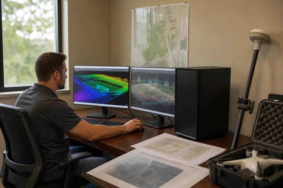
Drone data processing software at a glance
Prices are published list prices in USD, checked in October and November 2026 for the tools covered in our pricing articles. Confirm on your own quote, because resellers bundle.
| Software | Published price | Where it runs | Fits best |
|---|---|---|---|
| Agisoft Metashape Professional | $3,499 once | One computer, Windows, Mac or Linux | One pilot who wants to own the engine |
| PIX4Dmapper | $3,990 a year | One device at a time | Firms with Pix4D workflows already built |
| DJI Terra Standard | $1,680 a year | One Windows PC with an NVIDIA card | DJI only crews who want quick maps |
| RealityScan | $1,250 a year per seat above $1M revenue | Windows with an NVIDIA card | Meshes and 3D models |
| DroneDeploy Flight & Analysis | $4,188 a year for 1 admin user | Cloud | Construction progress, sharing |
| DroneMapping Starter | $588 a year | Cloud, 3 seats | A small crew with a few flights a month |
| DroneMapping Team | $1,488 a year | Cloud, 10 seats, 15,000 images a month | Survey and site teams with weekly flights |
The detail behind each row is in our articles on Agisoft Metashape pricing, PIX4Dmapper and PIX4Dmatic pricing, DJI Terra pricing and drone mapping software pricing.
What drone data processing really costs
The license is half of it. A desktop engine needs a workstation with a strong GPU and plenty of RAM, and when it is processing a large set it ties that machine up. If the pilot needs the laptop back, the job waits. A cloud plan moves that work off your desks, so the machine that uploads is not the machine that processes. The trade is that you pay a subscription and accept a queue on busy days. On DroneMapping the processing time is about 20 to 55 minutes for 100 photos and about 1.5 to 3.6 hours for 500 photos, plus any wait, and you get an email when the map is ready.
Also count who can look at the result. A desktop project opens on one computer, so everyone else gets exported files. That is fine for a pilot who delivers a PDF. It is slow for a team where the estimator wants a volume, the superintendent wants a measurement and the client wants to see the site.
What a four-person team pays over 3 years
Picture a pilot, an estimator, a project manager and a surveyor who all need to open every result. These are list prices and exclude the workstations.
| Over 3 years | Software cost | Who can open the result |
|---|---|---|
| Metashape Professional, 4 licenses | $13,996 | 4 computers, others get exports |
| RealityScan, 4 seats | $15,000 | 4 seats |
| DJI Terra Standard, 4 licenses | $20,160 | 4 Windows PCs |
| PIX4Dmapper, 4 licenses | $47,880 | 4 devices |
| DroneMapping Team | $4,464 | 10 seats plus view links |
The desktop numbers assume every person processes. If only the pilot processes and everyone else views, one Metashape license at $3,499 is cheaper than a plan, and that is the honest case for desktop. The comparison turns when two people process on the same day or when clients and subs need a link.
What to check before you buy
1. Which output formats you get: GeoTIFF, DXF, SHP, LAS and a volume report cover most site work.
2. Whether checkpoints are held out of the adjustment and the report prints residuals. Our guide to ground control points explains how many to set.
3. How many photos a single job accepts. DroneMapping takes up to 500 photos per flight, so large sites are flown in blocks.
4. Whether the plan limits images a month. Starter is 3,000, Team 15,000 and Business 50,000.
5. Whether the clients you send results to need a seat. DroneMapping view links need none.
For accuracy requirements on mapping products, the ASPRS positional accuracy standards are the reference most contracts cite.
Which one to pick
- One pilot, big jobs, no one else needs the project: Metashape Professional at $3,499 once.
- A firm that already lives in Pix4D: stay, and price a Pix4D alternative before renewing.
- A DJI only crew on a Windows machine: DJI Terra is the cheapest annual route.
- A team where several people open the same map, plus clients: a seat plan. The drone data processing software page shows the workflow and the photogrammetry software page compares the engines.
Teams that run their own client portal often watch it with an uptime monitor such as Alertping, so the link they send a client is always up.
When DroneMapping is not the right tool
DroneMapping does not process LiDAR or thermal data, it caps a flight at 500 photos, and it does not replace the stamp of a licensed surveyor. A solo pilot with a few large jobs may spend less on a one time desktop license.
FAQ
What is the best drone data processing software?
For one pilot, Metashape Professional at $3,499 once is the lowest cost. For a team where several people open the same results, a seat based cloud plan such as DroneMapping Team at $1,488 a year is cheaper than a license per person.
How much does drone data processing software cost?
Published prices run from $179 once for Metashape Standard to $3,499 once for Professional, $3,990 a year for PIX4Dmapper and $4,188 a year for DroneDeploy Flight & Analysis. Cloud plans with seats start at $588 a year.
Can drone data be processed on a laptop?
It can with small sets, but desktop engines want a strong GPU and plenty of RAM, and a large set ties the machine up for hours. A cloud plan uploads from any laptop and processes on servers.