PIX4Dcloud alternative for survey and construction teams that process thousands of images
PIX4Dcloud costs $1,290 a year for Starter with 500 credits and $4,490 a year for Pro with 2,500 credits, according to Pix4D's own pricing page. Every processed image spends credits, so the real bill depends on how much you fly. A PIX4Dcloud alternative makes sense when your team processes thousands of images a month, when the credits run out before the season does, or when you want progress tracking and volumes without moving to the Pro tier. DroneMapping prices by images per month with seats included: Team is $1,488 a year with 10 seats and 15,000 processed images a month, and Business is $3,588 a year with 25 seats and 50,000.
net volume
net volume
Side by side
PIX4Dcloud vs DroneMapping on price, limits and site outputs
Pix4D details come from the PIX4Dcloud pricing page on pix4d.com, checked in October 2026, billed yearly and excluding taxes. DroneMapping prices are the ones on our pricing page.
| What you compare | PIX4Dcloud Starter | PIX4Dcloud Pro | DroneMapping Team |
|---|---|---|---|
| Yearly price | $1,290 (regularly $1,548) | $4,490 (regularly $5,388) | $1,488, or $249 a month |
| How processing is metered | 500 credits a year | 2,500 credits a year | 15,000 processed images a month |
| Users who open maps | Unlimited | Unlimited | View links for clients, 10 seats for staff |
| 2D maps and 3D models | Yes | Yes | Yes, orthomosaic, DSM and DTM |
| Measurements, annotations, CAD and GIS export | Yes | Yes | Yes, CSV, GeoTIFF, DXF contours |
| Site progress tracking and volume comparison | Not listed | Yes | Business plan only, $3,588 a year |
| Stockpile volumes and cut and fill | Volume measurement | Volume measurement and comparison | Stockpile and cut and fill reports with contours |
| Gaussian splatting and AR display | Not listed | Yes | No |
| Design overlay (DXF and IFC) | Not listed | Yes | DXF design surface for cut and fill |
| Trimble and Esri integration | Not listed | Yes | File export, no direct integration |
| API, SSO and access control | No | No | API on Business, SSO on Enterprise |
The short version: PIX4Dcloud Pro is a deep product with splatting, AR and design overlays, priced for firms that use those. If your daily work is maps, surfaces, volumes and progress for a team, DroneMapping Team delivers that at a third of the Pro price with no credit counting. Weekly progress comparison is on Business at $3,588 a year, still below Pro.
How PIX4Dcloud is metered
PIX4Dcloud price and what the credits actually buy
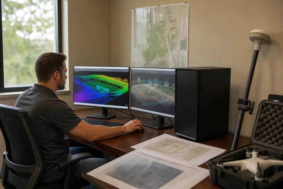
Pix4D charges cloud processing in credits, calculated from megapixels times the number of images. A 20 MP drone uses about 0.2 credits per image, so Starter covers roughly 2,500 images a year and Pro roughly 12,500. A 45 MP mapping camera uses 0.45 credits per image, which cuts those to about 1,100 and 5,500. A firm flying 3,000 images a month with a 20 MP drone needs about 7,200 credits a year, nearly three Pro allowances.
The pricing page does not list storage amounts or project limits, and it does not print the price of extra credits. Ask for all three in writing before you buy, because top-ups are what turn a $4,490 plan into a larger line on the budget.
Worked example
What a 5-person survey and inspection team pays
Take a firm with five staff who review maps, two pilots, and about 3,000 images a month at 20 MP.
| What the firm needs | PIX4Dcloud Pro | DroneMapping Team |
|---|---|---|
| Yearly processing allowance | 2,500 credits, about 12,500 images | 15,000 images a month, 180,000 a year |
| Allowance against 36,000 images a year | Short by about 23,500 images, top-ups at an unpublished price | Covered with room to spare |
| Staff seats | Unlimited users | 10 seats |
| Yearly software cost | $4,490 plus top-ups | $1,488 |
| Three-year cost | $13,470 plus top-ups | $4,464 |
Pro still wins on features the firm may need: Gaussian splatting, AR point display, IFC overlays and the Trimble and Esri links. If none of those is on your list, you pay more for capacity you cannot use up. Check what Pix4D charges for top-up credits, because they decide the final comparison.
Honest fit
When PIX4Dcloud is still the better choice
Keep PIX4Dcloud if most of these are true:
- You use Gaussian splatting, AR display or ground captures from a phone scanner next to drone flights.
- You overlay IFC or DXF design files on the site model as a daily task.
- You need the Trimble or Esri integration without exporting files.
- You fly a small number of sites, so 500 or 2,500 credits cover the year.
The trade is metering. Busy teams spend credits quickly, and unused credits do not roll into the next year.
Built for firms with steady flights
A PIX4Dcloud alternative for survey firms, contractors and inspection teams
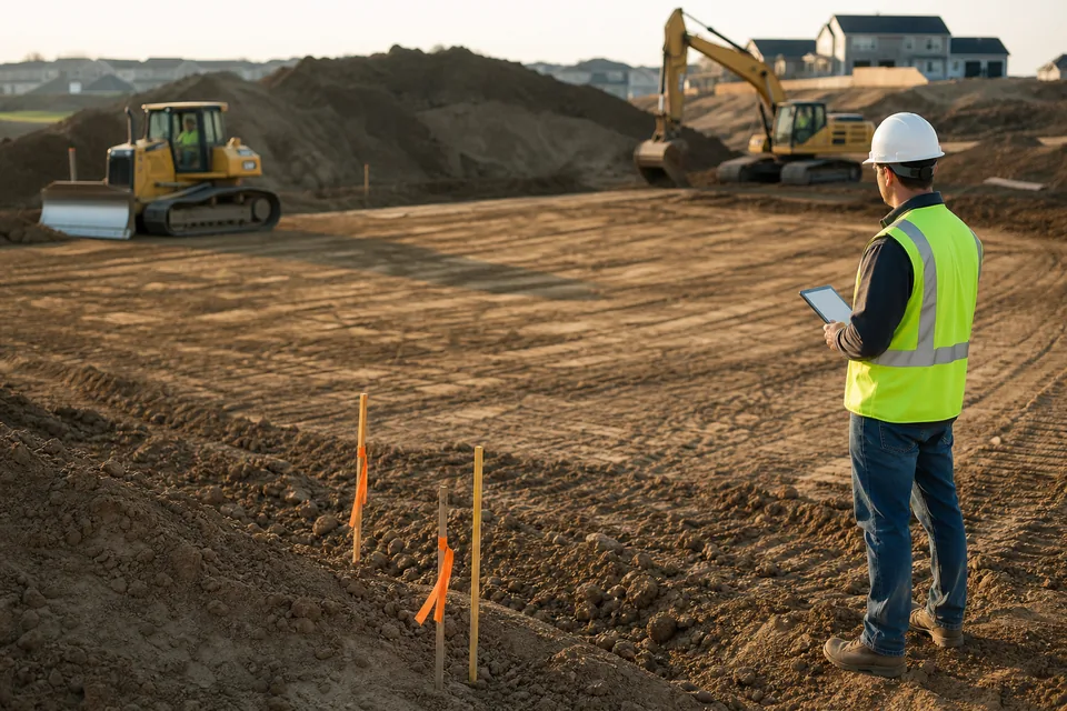
Most of our buyers fly every week. A survey crew maps a subdivision, a site superintendent compares this Friday's flight with last Friday's, an earthworks estimator checks a pad before the dozers leave.
In DroneMapping you fly any mapping drone that writes geotagged JPEGs, upload from a browser and get an orthomosaic, an elevation model, contours and measurements. Calculate stockpile volumes and cut and fill against a design surface, compare two flight dates on the progress timeline (Business plan), and send the client a view link. Our drone progress monitoring software page covers the weekly comparison, and the stockpile inventory software page shows the volume report.
What we do not do: Gaussian splatting, AR display, IFC overlays, LiDAR and flights over 500 photos.
Switching
How to test a PIX4Dcloud alternative on your last project
A fair test uses a project you already processed.
- Pick a project you trust: a recent PIX4Dcloud map your client has seen.
- Upload the original images: straight from the drone's card, with control points if you have them.
- Compare the outputs: the orthomosaic, the surface and a distance or area you measured before.
- Check the volume: the same pile or pad, against the number you reported.
- Count the credits: note how many PIX4Dcloud credits that project used and multiply by a normal month of flights.
Comparing the whole Pix4D line? Our Pix4D alternative page covers the desktop products, and the PIX4Dcloud vs PIX4Dmapper page prices cloud against a workstation.
Try it on a real site
Check a flight before you create an account
The demo loads a sample earthworks site and a stockpile yard. Drop your own photos in and it reads camera, altitude, ground sampling distance and estimated overlap in your browser. Your photos stay on your device.
Pricing
What DroneMapping costs next to a PIX4Dcloud plan
Starter is $99 per month or $588 per year: orthomosaic, DSM and DTM, measurements, CSV export, view links, 3 seats and 3,000 processed images a month. Team is $249 per month or $1,488 per year with 10 seats, 15,000 images, 3D models, contours and stockpile and cut and fill reports. Business is $599 per month or $3,588 per year and adds the progress timeline, multispectral processing, API access, 25 seats, 50,000 processed images a month, a priority queue and 2 TB of storage.
Questions
PIX4Dcloud alternative FAQ
For a survey, construction or inspection team that processes thousands of images a month, a cloud platform that meters by images and includes seats, such as DroneMapping Team, replaces PIX4Dcloud for maps, surfaces, volumes and progress tracking. For Gaussian splatting, AR display and IFC overlays, PIX4Dcloud Pro stays the better tool.
Pix4D lists PIX4Dcloud Starter at $1,290 billed yearly with 500 credits, and Pro at $4,490 billed yearly with 2,500 credits, against regular prices of $1,548 and $5,388. Enterprise is quoted by sales and adds API access, SSO and team access control.
Credits are spent as megapixels times images divided by 100. With a 20 MP drone, 500 credits cover about 2,500 images and 2,500 credits about 12,500. With a 45 MP camera, those drop to about 1,100 and 5,500 images.
It depends on volume. PIX4Dcloud Starter is $1,290 a year against $3,990 for PIX4Dmapper, but credits cap the images you can process, while Mapper processes without a cap on your own computer. See our PIX4Dcloud vs PIX4Dmapper comparison for the three-year cost.
Yes, on Business. The progress timeline compares flights of the same site. Stockpile volumes, cut and fill and contours come from the same upload on Team and Business. Clients open results from a view link without a seat.
Starter includes 3 seats, Team 10 and Business 25. Seats are for people who log in and process or manage. Clients open maps from a view link and do not need a seat.
Related pages
More on choosing cloud mapping software
- PIX4Dcloud pricing with credits turned into photos per camera
- PIX4Dcloud vs PIX4Dmapper with credits against a workstation licence
- Pix4D alternative with the full Pix4D price list
- PIX4Dcatch pricing for ground scanning
- Drone progress monitoring software for weekly site comparison
- Best drone mapping software compared by job and budget
- Drone mapping pricing with every DroneMapping plan
Process your next project without counting credits
Upload a flight, get the orthomosaic, surface and volumes and share them with the client the same day.