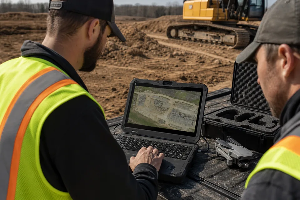
What a contractor needs from drone software
Survey firms buy drone software for accuracy reports. Contractors buy it to settle arguments at the weekly meeting: how much dirt moved, whether the pad is at grade, which areas are behind. Five checks matter.
1. Cut and fill against the design surface or the previous flight, with a volume table you can paste into a pay application.
2. A timeline of every flight on the same site, so you can scroll back to the day the footing was open.
3. Seats or free view links for the superintendent, the estimator and the owner's rep.
4. Processing that does not need a workstation in the trailer.
5. A price that does not grow with every flight, because weekly flights are where the value is.
Our construction drone software page shows how DroneMapping handles each of these on a commercial site.
Construction drone software prices side by side
Prices are published list prices in USD, checked in October and November 2026 in our pricing articles. Confirm on your own quote, because resellers bundle and enterprise plans are negotiated.
| Software | Published price | How it is licensed | Construction fit |
|---|---|---|---|
| DroneDeploy Flight & Analysis | $4,188 a year | 1 admin user, team plans quoted | Strong progress and sharing, cut and fill on quoted plans |
| Site Scan for ArcGIS | $5,310 a year per Operator | Per uploader, Access licenses quoted | Good if the company already runs ArcGIS |
| Propeller | Quoted, AeroPoints $1,000 each | Per site or company, quoted | Earthworks and haul roads, strong on dirt |
| Trimble Stratus | Quoted through SITECH dealers | Dealer quote | Same platform as Propeller with Trimble file exchange |
| PIX4Dcloud | $1,290 Starter or $4,490 Pro a year | Credits, 1 credit per 100 megapixels | Pix4D processing in the cloud, credits run out on weekly flights |
| SkyeBrowse | $24.99 or $49.99 per model, Enterprise $4,975 a year | Per model or yearly | Fast 3D models of buildings and scenes |
| DJI Terra Standard | $1,680 a year | One Windows PC with an NVIDIA card | Fast maps from DJI drones, no sharing |
| DroneMapping Starter | $588 a year | 3 seats, 3,000 images a month | One active site flown weekly |
| DroneMapping Team | $1,488 a year | 10 seats, 15,000 images a month | Cut and fill against design, timelines, view links |
The details behind each row are in DroneDeploy pricing, Propeller Aero pricing, SkyeBrowse pricing and the Site Scan price comparison.
What a contractor with three weekly sites pays over 3 years
Picture a general contractor with three active sites, each flown once a week. A typical mapping flight over a 25 acre site is about 300 photos, so the company processes about 3,600 images a month. Five people need the map: a project manager, two superintendents, an estimator and the owner's representative.
| Over 3 years | Software cost | What the five people get |
|---|---|---|
| DroneDeploy Flight & Analysis | $12,564 | 1 admin user, the other four need a quoted team plan |
| Site Scan for ArcGIS, 1 Operator | $15,930 | One person uploads, Access licenses for editing quoted |
| PIX4Dcloud Pro | $13,470 | 2,500 credits a year cover about 12,500 photos at 20 MP, against about 43,200 flown |
| SkyeBrowse Commercial, 12 models a month | $10,796 | Pay per model, cost rises with every extra flight |
| SkyeBrowse Pro, 12 models a month | $21,596 | Same, at $49.99 a model |
| DJI Terra Standard, 1 PC | $5,040 | One computer, results shared as files |
| DroneMapping Team | $4,464 | 10 seats plus view links, 15,000 images a month |
Two things stand out. Per flight pricing punishes the weekly flight that makes a drone program worth having, and credit plans run out long before the year ends at this volume. Desktop tools look cheap until someone has to email a 2 GB orthomosaic to the owner's rep every Monday. If dirt is the main question on your jobs, the DroneDeploy vs Propeller comparison goes deeper on earthworks.
Which one to pick
- A contractor already on ArcGIS with a GIS team: Site Scan fits the stack, but price each uploader at $5,310.
- One pilot who wants the best known brand and does not need others in the map: DroneDeploy Flight & Analysis at $4,188 a year.
- A heavy civil or earthworks contractor living on haul roads and dirt balance: get a Propeller quote and compare it with a flat plan.
- A team that mostly needs 3D models of buildings for marketing or claims: SkyeBrowse per model, as long as the count stays low.
- A contractor with several sites and five or more people who need the same map: a seat-based cloud plan such as DroneMapping Team. Homebuilders checking pads across communities have their own page on drone mapping software for homebuilders.
How to test a tool before you buy
Take one flight you have already processed somewhere else and run it through the trial. Upload the design surface, run cut and fill, and compare the net volume with the number you trust. Then send the view link to the superintendent and see whether they open it without help. A tool that passes both tests on your own data is worth more than any feature list. The drone progress monitoring software page shows what the weekly timeline looks like once several flights are loaded.
When DroneMapping is not the right tool
DroneMapping processes up to 500 photos per flight, so a large site is flown in blocks. It does not process LiDAR or thermal data, it does not do interior 360 capture or BIM clash checks, and it does not replace the stamp of a licensed surveyor where a contract or the city needs one. Commercial drone flights in the US need a Part 107 certificate, described on the FAA commercial operators page, and DroneDeploy's own pricing page is the place to confirm its current plans before you compare.
FAQ
What is the best drone software for construction?
For most contractors the best drone software compares each flight with the design surface, keeps flights on a timeline and gives the whole project team access. DroneDeploy suits a single pilot at $4,188 a year, and DroneMapping Team suits five or more people at $1,488 a year for 10 seats.
How much does construction drone software cost?
Published prices run from $588 a year for a small seat plan to $4,188 a year for DroneDeploy Flight & Analysis and $5,310 a year per Site Scan Operator license. Propeller and Trimble Stratus are quoted. Pay per model tools cost $24.99 to $49.99 for each flight.
Is DroneDeploy worth it for construction?
DroneDeploy is a strong product for progress and sharing, and it is worth it for a single pilot who wants the best known brand. For a team, the published plan covers one admin user and the rest is quoted, so price the full team before deciding.
Do I need a surveyor if I use drone software on a construction site?
For quantities, progress and pad checks, no. For work that the contract or the city requires to be stamped, yes. The drone surface with a checkpoint report gives the surveyor a faster starting point, and the cut and fill software page shows how the comparison works.