SkyeBrowse alternative for survey and earthworks teams that map the same sites every week
DroneMapping is a cloud drone mapping platform for survey firms and earthworks contractors that outgrew per-model video mapping. You upload geotagged drone photos in the browser and get an orthomosaic, surface and terrain models, contours, stockpile volumes, cut and fill against the design and a ground control accuracy report, with a view link your client opens on a phone. Team is $249 a month for 15,000 processed images and 10 seats, so the 20th map of the month costs the same as the first.
net volume
net volume
Side by side
SkyeBrowse vs DroneMapping on price, capture and survey outputs
The SkyeBrowse column uses its public pricing page as checked in October 2026, in USD. Our column is the published DroneMapping plan list. SkyeBrowse prices each processed model; we price a monthly image allowance for the whole company.
| What you compare | SkyeBrowse | DroneMapping |
|---|---|---|
| How you pay | Per model: Commercial $24.99, Pro $49.99, both billed monthly, about 20% less on annual prepay | Per company per month: Starter $99, Team $249, Business $599 |
| Enterprise tier | Public Safety and Enterprise, $199 per model billed yearly, 25 model minimum ($4,975 a year) | Enterprise quota on request, invoiced yearly |
| Capture method | Video from a drone, phone, action camera or 360 camera, up to 3 videos per model on Commercial and Pro | Geotagged JPEG photos from a mapping flight, nadir or oblique |
| Users | Up to 5 on Commercial and Pro, unlimited on Enterprise | 3 seats on Starter, 10 on Team, 25 on Business, plus unlimited view links |
| Exports | Not on Commercial. LAZ, GLB, GeoTIFF and CAD on Pro and above | GeoTIFF, LAS or LAZ, DXF and SHP from the plan that includes the output |
| Ground control | Pricing page lists no GCP or checkpoint report | GCPs and checkpoints with RMSE in X, Y and Z on Team |
| Terrain model and contours | Topographic maps on Pro | DSM and DTM on every plan, DXF and SHP contours on Team |
| Volumes | Volume tool on every tier | Stockpile volumes on every plan, stockpile PDF reports on Team |
| Cut and fill against a design | Not listed | Team and above, compare to a design surface or an earlier flight |
| Storage | 3 months on Commercial, 1 year on Pro, 5 years on Enterprise | 100 GB on Starter, 500 GB on Team, 2 TB on Business, kept while you subscribe |
| Public safety tools | Crash and claims analysis, CJIS, chain of custody, courtroom diagrams | Not offered |
SkyeBrowse is built around fast video capture and per-incident pricing, which is why police, fire and insurance teams like it. DroneMapping is built around repeat survey flights, control and quantities, priced so a busy month does not cost more.
Worked example
What a contractor flying 4 sites a week pays for each
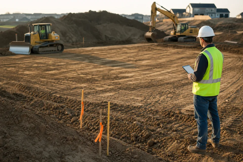
Take a US site contractor with four active jobs. A drone pilot flies each site once a week for progress, stockpile counts and pay application quantities. That is about 17 maps a month, around 300 photos each, or 5,100 images a month.
| Monthly cost | SkyeBrowse Pro, monthly | SkyeBrowse Pro, annual prepay | DroneMapping Team |
|---|---|---|---|
| 17 models or maps | $850 ($49.99 x 17) | About $680 at 20% off | $249 flat |
| 30 models or maps | $1,500 | About $1,200 | $249 flat, up to 15,000 images |
| Over 3 years at 17 a month | $30,594 | About $24,475 | $4,464 on yearly billing |
| People who can work in it | Up to 5 users | Up to 5 users | 10 seats plus view links |
| Data kept | 1 year per model | 1 year per model | While you subscribe |
The honest read: if you capture a handful of scenes a month, per-model pricing is cheaper than any subscription. SkyeBrowse Commercial at $24.99 a model beats our $99 Starter until you pass about four maps a month. Past ten or so maps a month, a flat plan wins by a wide margin, and the gap grows every week you fly.
Honest fit
When SkyeBrowse is still the better choice
SkyeBrowse is good at what it was designed for, and some teams should stay on it:
-
01
You map crash scenes, fire scenes or insurance claims and need CJIS compliance, chain of custody or courtroom diagrams.
-
02
You capture with a phone, an action camera or a 360 camera as often as with a drone.
-
03
You fly a few jobs a month, so paying per model is cheaper than a monthly plan.
-
04
You want a quick 3D walkaround of a building or roof more than a surveyed terrain model.
If your deliverables are surfaces, contours, stockpile quantities and cut and fill on the same sites week after week, a survey platform priced per company fits the work better.
Why teams switch
Why survey and earthworks teams look for a SkyeBrowse alternative
The reasons are mostly about volume and survey control, not the quality of the 3D model.
- The meter keeps running: every progress flight is another model, so a busy season costs more than a slow one.
- Control: survey firms want ground control and checkpoints with an RMSE report they can put in a deliverable.
- Earthworks math: contractors need cut and fill against the design surface, not only a volume around one pile.
- History: weekly flights compared over a whole project need storage that does not expire after three or twelve months.
- Seats: a project with a surveyor, two engineers, a superintendent and an owner's rep is already past five users.
How it works
How a mapping job runs in DroneMapping
- Fly a mapping grid: plan the flight in DJI Pilot 2 or any flight app that writes geotagged JPEGs, at 70 to 80% overlap.
- Upload in the browser: drag the photos in from a laptop or a card reader. Load your GCP file if you set targets.
- Process in the cloud: we build the orthomosaic, DSM, DTM, point cloud and contours. Team runs 2 jobs in parallel.
- Measure and share: draw stockpiles, run cut and fill against the design GeoTIFF, export DXF or LAS, and send the client a view link.
Not sure about the flight? Our ground sampling distance calculator sets altitude and resolution before you go.
Switching
How to move from SkyeBrowse to DroneMapping
SkyeBrowse works from video, so you do not move projects across. You fly the next visit as a photo mapping flight and keep your SkyeBrowse archive until it expires.
- Pick a site you know: one where you have a SkyeBrowse volume or a surveyed elevation to compare.
- Fly a photo grid instead of a video orbit: DJI Enterprise drones do this in DJI Pilot 2 with no extra app.
- Set four or five targets: shoot them with your rover, load the CSV and read the checkpoint error.
- Compare the numbers: put the stockpile volume and spot elevations next to your last SkyeBrowse model before you move every job over.
Try it on a real surface
Measure a site before you create an account
The demo loads a sample stockpile yard, an earthworks pad and a field. Toggle contours, draw a volume and read an elevation profile in the browser with no signup.
Pricing
What a SkyeBrowse alternative costs per month
Starter is $99 per month or $588 per year: orthomosaic, DSM and DTM, measurements and volumes, view links, 3 seats and 3,000 processed images a month. Team is $249 per month or $1,488 per year and adds the 3D textured model, the dense point cloud as LAS or LAZ, GCP and checkpoint reports, DXF and SHP contours, stockpile PDFs and cut and fill, with 10 seats and 15,000 images. Business is $599 per month or $3,588 per year for 50,000 images, 25 seats, multispectral indices, the progress timeline and the API.
Questions
SkyeBrowse alternative FAQ
For survey and construction mapping, the usual alternatives are DroneDeploy, Pix4D, Propeller and DroneMapping. DroneMapping fits teams that fly the same sites every week: it processes photo flights into orthomosaics, DTMs, contours, volumes and cut and fill, with 10 seats on Team for $249 a month and no per-model charge.
SkyeBrowse charges per processed model. Commercial is $24.99 a model and Pro is $49.99 a model, both billed monthly, with about 20% off for annual prepay. Public Safety and Enterprise is $199 a model billed yearly with a 25-model minimum, which is $4,975 a year. A free tier keeps 2 models for 30 days without exports.
It is good for fast 3D documentation from video, and its Pro tier exports GeoTIFF, LAZ and CAD files. Survey firms usually want more control over accuracy: ground control points, checkpoint RMSE reports, a bare-earth DTM and contours they can sign off. Those come standard on photo-based survey platforms such as DroneMapping Team.
No. SkyeBrowse markets its accuracy without GCPs, and its pricing page lists no GCP or checkpoint report. That works for scene documentation. For topographic surveys and pay quantities, most US surveyors still set control or checkpoints, because a report against independent points is what proves the map's accuracy to a client.
Yes, with tools built for video such as SkyeBrowse. Photo mapping flights are still the standard for surveys because each image carries its own GPS position and the grid gives even overlap. DroneMapping processes geotagged JPEGs, which every DJI Enterprise drone captures in a DJI Pilot 2 mapping mission.
It is cheaper when you fly rarely. At $24.99 a model, four maps a month cost about the same as our $99 Starter plan. At $49.99 a model on Pro, 17 maps a month cost about $850, against $249 for DroneMapping Team with up to 15,000 images and 10 seats.
Related pages
More on choosing drone mapping software
- Cut and fill software against the design grade or last week's flight
- Stockpile inventory software for aggregates yards and contractors
- Propeller Aero alternative for earthworks without a quoted contract
- DroneDeploy alternative with the price on the page
- Drone survey software with GCPs, checkpoints and contours
- Best drone mapping software buyer's guide with a trial checklist
Map every site every week at one flat price
Fly your next progress visit as a photo grid, upload it and compare the volume with your last model.