Virtual Surveyor alternative for survey and earthworks teams that work in the browser
Virtual Surveyor is Windows desktop software that turns drone orthomosaics and surface models into survey points, breaklines, surfaces and CAD exports, with paid plans listed at €100 (Ridge) and €210 (Mountain and Peak) and a free Valley tier that only imports and edits. A Virtual Surveyor alternative makes sense when the bottleneck is not drawing linework but getting photos processed, measured and in front of several people and a client the same day. DroneMapping processes geotagged drone photos in the cloud into an orthomosaic, DSM, DTM, contours, stockpile volumes, cut and fill and a checkpoint accuracy report, and anyone with a browser can open the result. Team is $1,488 a year with 10 seats.
net volume
net volume
Side by side
Virtual Surveyor vs DroneMapping on price, platform and deliverables
Virtual Surveyor details come from its pricing page and its support articles on system requirements and running on a Mac, read on 18 November 2026. The pricing page shows prices in euros with a Monthly and Annually switch and a "Save 2 months" note on each paid plan, but it does not print the billing period next to each figure, so confirm it at checkout. DroneMapping prices are the ones on our pricing page.
| What you compare | Virtual Surveyor | DroneMapping |
|---|---|---|
| Published price | Valley €0, Ridge €100, Mountain €210, Peak €210, billing period confirmed at checkout | Starter $588, Team $1,488, Business $3,588 a year, or $99, $249 and $599 a month |
| Where it runs | Windows 10 or 11, 64 bit. No native macOS, the vendor suggests a Windows virtual machine | Any browser on Windows, Mac or a tablet |
| Processing drone photos | Photogrammetry from Ridge up, through its Terrain Creator tool on your own computer | Cloud processing on every plan, nothing to install |
| Orthomosaic and surface model | Imports them on every plan, including the free Valley tier | Produced from your photos, DSM and DTM on every plan |
| Stockpile volumes | Stockpile reports from Ridge | Volumes on every plan |
| Cut and fill | Cut and fill maps and area extraction from Mountain | Cut and fill against a design surface or an earlier flight on Team |
| Grading and design tools | Offset by slope, grading, intersections and offset surfaces on Peak | Not offered, we measure the site and compare it with your design |
| Licensing | Floating cloud licence, you buy as many as people working at the same time | Seats per company, 3, 10 or 25, clients open a view link without a seat |
| CAD output | Export to CAD on every plan | DXF and SHP contours and PDF reports on Team and above |
| Trial | 14 days with all Peak features | Demo project without an account, then any plan month to month |
The short version: Virtual Surveyor is a strong terrain editing desk for one surveyor who wants to draw on the model. DroneMapping is the faster route when the team needs the processed map, the number and the link, not a design workstation.
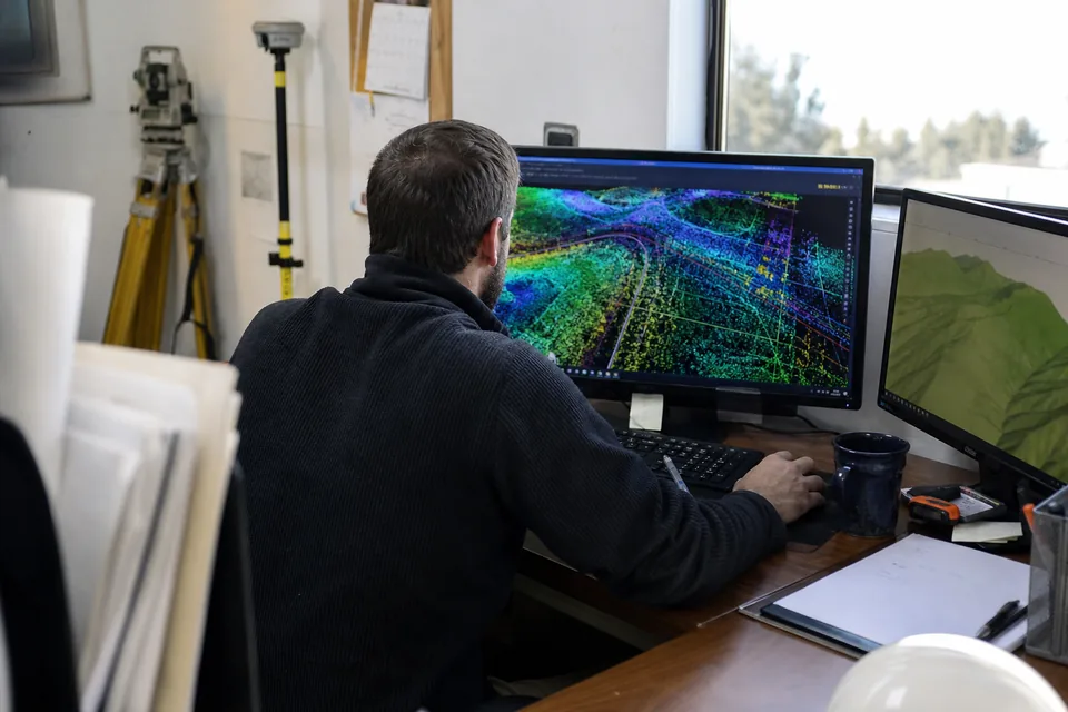
How the cost adds up
Why the Virtual Surveyor bill depends on how many people work at once
Virtual Surveyor sells floating licences, so the vendor tells you to count how many people in the firm use the software at the same moment, not how many have it installed. That is fair for one surveyor, and it gets expensive the moment two people need Mountain for cut and fill on the same afternoon. Each of them also needs a Windows machine with a graphics card that supports OpenGL 3.3, and the vendor notes that Terrain Creator, its photogrammetry tool, needs a stronger computer than the editor itself.
The euro figures on the page carry a second unknown. If €210 is a monthly price, one Mountain or Peak licence is €2,520 a year, or about €2,100 when annual billing saves two months. If it is already the yearly figure, it is a bargain for a single seat. Either way, a firm with three people who all need the map pays per concurrent user, while DroneMapping Team covers 10 people for $1,488 a year. Our Virtual Surveyor pricing article works through both readings plan by plan.
Worked example
What a 4-person earthworks firm pays over 3 years
Take a pilot, a project engineer, an estimator and a site superintendent. They fly 6 sites a month at 300 to 500 photos. The engineer and the estimator both need cut and fill against the design, often on the same day, and the superintendent only needs to look at the map. The table reads the Virtual Surveyor figure as a monthly price with two months saved on annual billing, which is our assumption, not the vendor's statement.
| Over 3 years | Virtual Surveyor Mountain, 1 floating licence | Virtual Surveyor Mountain, 2 floating licences | DroneMapping Team |
|---|---|---|---|
| Software | about €6,300 | about €12,600 | $4,464 |
| People who can work at once | 1 | 2 | 10 |
| Photo processing | On your own Windows PC | On your own Windows PCs | In the cloud |
| Cut and fill | Yes | Yes | Yes, against a design surface or an earlier flight |
| Superintendent and client view | Export and send files | Export and send files | View link |
| Mac users | Windows virtual machine | Windows virtual machine | Browser |
If the €210 turns out to be a yearly figure, Virtual Surveyor is cheaper on licence cost alone, and the comparison comes down to who processes the photos and who can open the result. That is the question to settle in a trial.
Honest fit
When Virtual Surveyor is still the better choice
Keep Virtual Surveyor if most of these are true:
- One surveyor does the work and the deliverable is CAD linework, breaklines and survey points, not a shared map.
- You already process photos elsewhere and only need to edit and extract from the surface.
- You design grading on the model, with offsets by slope, intersections and offset surfaces from the Peak plan.
- You import LiDAR point clouds and convert them to surfaces, which we do not process.
- You work offline in the field office and do not want projects in the cloud.
We cap flights at 500 photos, we do not process LiDAR, thermal or multispectral data on Team, and we do not draw design surfaces. Firms whose value is in the design work should stay with a desktop editor.
Who switches
A Virtual Surveyor alternative for contractors, aggregate yards and small survey firms
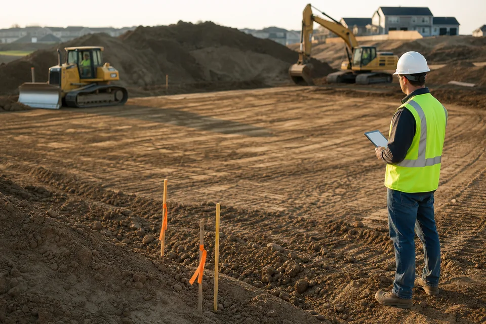
DroneMapping fits the firm where the pilot flies, the office wants the volume by lunch and three other people need to see it. Upload the photos from any drone, add ground control points and get the orthomosaic, terrain model, contours, volumes and a checkpoint error report without a workstation. Earthworks teams compare each flight with the design on the cut and fill software page, and aggregate yards close the month with stockpile volume measurement. Some yards also put the latest map on the screens already hanging in the scale house so the loader operators see which pile is low. A survey firm can check the full deliverable list on the drone survey software page.
Test it
How to test a Virtual Surveyor alternative on a finished job
1. Pick a job you already delivered from Virtual Surveyor, with ground control and a known volume or cut and fill figure.
2. Upload the original drone photos and the same GCP file.
3. Hold two or three points back as checkpoints and compare the reported error in X, Y and Z.
4. Load the same design surface as a GeoTIFF and compare cut, fill and net volume with your delivered figure.
5. Send the view link to the person who usually waits for your export.
If the numbers fall inside your tolerance, price the switch. For the wider market see the best drone mapping software comparison, or drone mapping software pricing with 16 tools in one table.
See a processed site before you create an account
Open the demo to see an orthomosaic, terrain model, contours and volumes from a sample site.
What DroneMapping costs next to a Virtual Surveyor licence
Starter is $99 a month or $588 a year with 3 seats and 3,000 images a month, with volumes against a base plane. Team is $249 a month or $1,488 a year with 10 seats, 15,000 images, design surfaces, cut and fill and DXF contours. Business is $599 a month or $3,588 a year with 25 seats, 50,000 images, the progress timeline and change detection. See every plan on the pricing page.
Questions
Virtual Surveyor alternative FAQ
For contractors and small survey firms that need photos processed, volumes, cut and fill and a link several people can open, a cloud platform with seats such as DroneMapping Team at $1,488 a year replaces Virtual Surveyor. For one surveyor who draws breaklines and designs grading on the surface, Virtual Surveyor stays the better desk tool.
The pricing page lists Valley at €0, Ridge at €100 and Mountain and Peak at €210, with a monthly and annual switch and two months saved on annual billing. It does not print the billing period beside each price, so confirm it in checkout. Licences are floating, priced per person working at the same time.
No. Virtual Surveyor's support pages say it is Windows software that cannot be installed on native macOS, and suggest a Windows virtual machine such as Parallels or VMware. DroneMapping runs in a browser, so a Mac, a Windows laptop or a tablet all work.
Yes, from the Ridge plan up, through its Terrain Creator photogrammetry tool, which runs on your own computer and needs stronger hardware than the editor. The free Valley tier imports orthomosaics and surface models made elsewhere. DroneMapping processes the photos in the cloud on every plan.
Starter includes 3 seats, Team 10 and Business 25. Clients and site staff open maps from a view link and do not need a seat.
Related pages
More comparisons for survey and earthworks software
Process the flight, measure it and share it without a Windows workstation
Upload the photos, get the orthomosaic, contours, volumes and cut and fill, and send the client one link the same day.