Trimble Stratus alternative for earthworks contractors who want a price before the dealer call
Trimble Stratus is Propeller's drone survey platform sold through SITECH dealers, and the subscription price is never printed. Every dealer page ends in a quote form, and the one number in public is the hardware: $1,000 per AeroPoint or $5,000 for five. A Trimble Stratus alternative makes sense when you want the orthomosaic, volumes and cut and fill from your own drone without a quote or ground control hardware to buy. DroneMapping processes photos from any drone in the cloud and prints every price: Team is $1,488 a year with 10 seats.
net volume
net volume
Side by side
Trimble Stratus vs DroneMapping on price, hardware and outputs
Stratus details come from Propeller's posts about the Trimble partnership, SITECH dealer pages and Propeller's store, checked in October 2026. DroneMapping prices are the ones on our pricing page.
| What you compare | Trimble Stratus through a dealer | DroneMapping |
|---|---|---|
| Platform price | Quoted by the dealer, not published | Starter $588, Team $1,488, Business $3,588 a year, or $99, $249 and $599 a month |
| Ground control hardware | AeroPoints, $1,000 each or $5,000 for five | Nothing to buy, any GCP file works |
| Corrections | Bundled with a license, $999 a year per group when bought alone | None |
| PPK | $2,200 upgrade in Propeller's store | RTK and PPK geotags are read from the photos |
| Users | Unlimited team members per dealer pages | 3, 10 or 25 seats |
| Processing | Cloud, results in about 24 hours | Cloud, about 1.5 to 3.6 hours for 500 photos |
| Machine control files | TTM surfaces and JXL job files, push to Trimble Connect | DXF, SHP, GeoTIFF, LAS and LAZ |
| Volumes, cut and fill | Yes | Volumes on every plan, cut and fill on Team and above |
| GCP and checkpoint report | Yes | Team and above, RMSE in X, Y and Z |
| Contract | Set in the quote | Monthly or yearly, price on the page |
Where Stratus wins: a contractor on Trimble machine control who wants surfaces to reach the dozer as TTM files without a conversion step, and one vendor for rovers, grade control and drone surveys. Where we win: a price you can read today, no hardware to buy, and results the same afternoon.

How Stratus is priced
Trimble Stratus pricing and what the dealer quote contains
Trimble Stratus is priced by quote, so the number depends on your dealer, how many sites you fly and whether AeroPoints and PPK are in the bundle. Expect at least $5,000 in control hardware if you start with a five-pack, then a platform subscription that no dealer prints. Ask for the quote broken into lines: the subscription term and what it covers, the number of AeroPoints and whether their corrections run for the whole term or only the first 12 months, the PPK upgrade, any bundled drone, training hours and the year-two renewal price. Propeller's help center says AeroPoints keep recording after a subscription lapses, but you cannot process or download new data until you renew. Our Trimble Stratus price breakdown walks through each line.
Worked example
What an earthworks team pays for Stratus and for DroneMapping over 3 years
Take a site contractor with two active jobs and three people who touch the data: a survey lead, an estimator and a superintendent. They fly each site weekly, about 6,000 photos a month, and need monthly stockpile volumes and cut and fill against the design surface.
| Cost over 3 years | Trimble Stratus | DroneMapping Team |
|---|---|---|
| Platform subscription | Quoted, not published | $4,464 for 10 seats |
| Five AeroPoints | $5,000 | $0 |
| Corrections after the first 12 months | $999 a year, if not bundled | $0 |
| Photo volume | Set in the quote | 15,000 images a month included |
| Known software and hardware cost | At least $5,000 plus the quote | $4,464 |
With DroneMapping the price does not move when you add a second site or a third person, because the plan counts processed photos and seats are included.
Honest fit
When Trimble Stratus is still the better choice
Keep Stratus, or ask your dealer for a quote next to ours, if most of these are true:
- Your machines run Trimble and the surface must reach them as a TTM file with no export step.
- You want AeroPoints so a crew can fly without surveying ground control by hand.
- You already buy rovers, software and support from a SITECH dealer and want one invoice.
- You want the dealer to supply training and a bundled drone.
- Sites are large and corridor-like, where Trimble's survey workflow is established.
The trade is a price you only learn on a call and hardware you buy before the first map. A contractor with a pilot on staff and a licensed surveyor setting control pays for something the drone flight and a GCP file already give them.
Built for contractors
A Trimble Stratus alternative for site contractors and survey crews
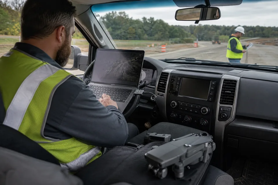
Most of our buyers want to know how much dirt moved and whether the pad is at grade. Fly the site with any drone that writes geotagged JPEGs, upload from a browser and get an orthomosaic, a surface model and contours in about 20 to 55 minutes for 100 photos. Draw a toe line around each pile, read the volume in cubic yards, then on Team compare today's surface with the design surface for a cut and fill map. A GCP and checkpoint report shows RMSE in X, Y and Z so the superintendent and the surveyor are looking at the same accuracy number. Export contours as DXF or SHP and hand them to whoever loads the machines.
Switching
How to test a Trimble Stratus alternative on your last survey
A fair test uses a site you already have numbers for.
- Pick a recent Stratus survey with surveyed checkpoints.
- Fly the same site: nadir photos, 75 to 80 percent front overlap and about 70 percent side overlap, with your control points.
- Upload the original JPEGs straight from the drone card.
- Hold two or three points back as checkpoints and read the RMSE report.
- Compare the pile volumes and the cut and fill against the Stratus numbers.
Comparing other platforms too? Our Propeller alternative and DroneDeploy alternative pages cover the two platforms most earthworks buyers also look at.
Try it on a real site
Measure an earthworks pad before you create an account
The demo loads a sample earthworks pad, a stockpile yard and a field. Draw a toe line around a pile, change the base plane and watch the volume update in the browser.
Pricing
What DroneMapping costs next to a Stratus quote
Starter is $99 per month or $588 per year: orthomosaic, DSM and DTM, measurements and volumes, CSV export, view links, 3 seats and 3,000 processed images a month. Team is $249 per month or $1,488 per year and adds stockpile PDF reports, cut and fill, GCP and checkpoint reports, DXF and SHP contours, the 3D model and the point cloud, with 10 seats and 15,000 images. Business is $599 per month or $3,588 per year with 25 seats and 50,000 images.
Questions
Trimble Stratus alternative FAQ
For a contractor or survey crew that wants the price up front, a cloud platform such as DroneMapping, Pix4D or DroneDeploy replaces Stratus for maps, volumes and cut and fill. DroneMapping prints its price, $1,488 a year on Team with 10 seats, and needs no ground control hardware.
Trimble Stratus is sold by quote through SITECH and other Trimble dealers, and no page prints the subscription. The public figures are Propeller's hardware prices: AeroPoints at $1,000 each or $5,000 for five, corrections at $999 a year after the first 12 months and the PPK upgrade at $2,200.
Underneath, yes. Propeller describes Stratus as its platform licensed under the Trimble name and sold through Trimble dealers. The processing and AeroPoints are Propeller's, while the dealer supplies support and the Trimble file handling.
No. Any set of surveyed ground control points can tie a drone model to the ground. DroneMapping takes a GCP file and reports checkpoint RMSE in X, Y and Z, so you can show the accuracy without buying proprietary targets.
We export contours as DXF or SHP and surfaces as GeoTIFF, LAS and LAZ, not TTM or JXL. If your machine control needs a TTM file with no conversion, Stratus fits better, or convert the DXF in your office software.
Related pages
More on choosing a drone survey platform
- Trimble Stratus price with the lines to ask your dealer for
- Propeller alternative for earthworks and aggregates teams
- Propeller vs Pix4D pricing with a 3-year team cost
- Cut and fill software for month-over-month change
- Stockpile inventory software with the month-end PDF report
- Best drone mapping software compared by job and budget
See your next grade check before the dealer calls back
Fly the site, upload the photos and read the volumes and cut and fill the same day.