Stockpile Reports alternative for drone stockpile inventory and stockpile measurement software
Stockpile Reports prices its plans by the number of piles you manage: $1,000 a year for up to 10 piles, $2,000 for 20 and $5,000 for 50, measured by walking around each pile with an iPhone. Drone measurement only comes on the Business 200+ tier, which is quoted. A Stockpile Reports alternative makes sense when you would rather fly the whole yard once and measure every pile from the same surface. DroneMapping processes photos from any drone in the cloud and is priced per company, not per pile: Team is $1,488 a year with 10 seats, stockpile PDF reports and cut and fill.
net volume
net volume
Side by side
Stockpile Reports vs DroneMapping on price, method and outputs
Stockpile Reports details come from the plans and pricing page and the help center on stockpilereports.com, checked in October 2026. DroneMapping prices are the ones on our pricing page.
| What you compare | Stockpile Reports | DroneMapping |
|---|---|---|
| How the price is set | By piles under management | By plan, with seats and a monthly image quota |
| Published plans | Personal 1 measurement a day, Professional $20 a month or $200 a year, Business 10, 20 and 50 piles at $1,000, $2,000 and $5,000 a year | Starter $588 a year, Team $1,488, Business $3,588, or $99, $249 and $599 a month |
| Over 50 piles | Business 200+, quoted by pile count | Same plan, piles are not counted |
| Measuring method | iPhone walk-around on every published plan | Drone flight of the whole yard, any drone that writes geotagged JPEGs |
| Drone measurement | Business 200+ only, or prepaid full-service flights priced by acreage on request | Every plan |
| Users | 1 on Professional, unlimited on Business | 3, 10 or 25 seats |
| Tonnage | Tonnage reports with site-specific conversion factors | Volume in cubic yards or cubic meters, CSV export for your density factors |
| Bunkers and bins | Yes | Custom base elevation for bins and piles against a slab |
| Installed cameras | Quoted, with equipment and installation fees | No |
| Orthomosaic, DSM, DTM and contours | Not the focus of the product | Yes, contours as DXF or SHP on Team |
| Cut and fill against a design | No | Team and above |
| GCP and checkpoint report | No | Team and above, RMSE in X, Y and Z |
| Client and auditor sharing | Web app on Business | View links on every plan |
The short version: Stockpile Reports is built around a phone in the hand of a yard manager and an inventory number in tons. DroneMapping is the better buy when a drone already flies your sites, when you have more than a few dozen piles, or when the same flight also has to produce a surface, contours or a cut and fill map.
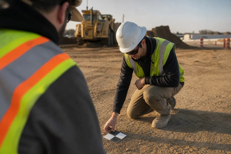
How Stockpile Reports prices it
Stockpile Reports pricing and what each plan includes
Stockpile Reports lists five plans. Personal is free with one measurement a day on an iPhone. Professional is $20 a month or $200 a year for one user with unlimited measurements of freestanding piles. The three Business plans add unlimited users, bunkers, the web app, tonnage reports and management by product and site, and they are priced by the piles you track: $100 a month or $1,000 a year for up to 10 piles, $200 or $2,000 for up to 20, and $500 or $5,000 for up to 50.
Everything above 50 piles moves to Business 200+, which is quoted by the number of unique piles under management and adds drone measurement, role-based access, site-specific conversion factors, integrations and single sign-on. Full-service flights, where Stockpile Reports sends a pilot, are prepaid and priced by flight count and site size (up to 25 acres, 26 to 150, and 151 to 300). Installed cameras carry an annual subscription plus one-time equipment and installation fees.
The terms matter as much as the prices: subscriptions are prepaid for the term and nonrefundable, the iPhone plans are billed through the App Store, and credit card fees may be added.
Worked example
What an aggregates yard with 60 piles pays for Stockpile Reports and for DroneMapping
Take a sand and gravel producer with two yards and about 60 piles of base, washed sand, rip rap and three sizes of crushed stone. Accounting wants a count at every month end, and the operations manager wants a drone flight because walking 60 piles with a phone takes most of a day.
| What the yard buys | Stockpile Reports | DroneMapping Team, yearly |
|---|---|---|
| Plan that fits 60 piles | Business 200+, quoted | Team, $1,488 a year |
| Drone measurement | Included on 200+, or full-service flights quoted by acreage | Included, your own drone and pilot |
| Users | Unlimited | 10 seats |
| Monthly flights | Priced in the quote | 12 flights of up to 500 photos each fit in 15,000 images a month |
| Tonnage | Built in, with conversion factors per site | Volume per pile in the PDF and CSV, tons from your density factors |
| Known yearly software cost | Not published above 50 piles | $1,488 |
Below 50 piles, measured by phone, Stockpile Reports' published Business 50 plan is $5,000 a year. Above it you are negotiating. With DroneMapping the price does not move when you add a yard, a material or a pile, because the plan counts processed photos, not piles.
Honest fit
When Stockpile Reports is still the better choice
Keep Stockpile Reports, or use it next to a drone tool, if most of these are true:
- Your yard managers measure single piles on the spot with an iPhone and nobody flies a drone.
- You need inventory reported in tons with site-specific conversion factors, without a spreadsheet step.
- You track bunkers and bins inside buildings where a drone cannot fly.
- You want installed cameras that measure piles automatically without anyone on site.
- You have sites spread across the country and would rather buy prepaid full-service flights than run your own pilots.
- You need integrations with an ERP or inventory system and single sign-on across a large organization.
The trade is a price that grows with the number of piles and a drone option that is only quoted. A contractor or a regional producer with a pilot on staff pays for something the drone flight already gives them.
Built for yards and contractors
A Stockpile Reports alternative for aggregates producers and earthworks contractors
Most of our buyers are not pure inventory shops. A site contractor counts the topsoil and fill stockpiled on a job, a ready-mix supplier counts sand and stone for month-end, and a quarry checks the volume moved since last month. They want one drone flight to answer all of it.
In DroneMapping you fly the yard with any drone that writes geotagged JPEGs, upload from a browser and get an orthomosaic, a surface model and contours in about 20 to 55 minutes for 100 photos. Draw a toe line around each pile, pick a base plane (lowest point, average of the toe or a typed elevation for piles against a slab) and read the volume in cubic yards or cubic meters. On Team the piles go into a PDF stockpile report with a map, each pile's name, material, volume and base plane, and the flight date, and the table exports as CSV for the density factors your accountant already uses.
Next month's flight lines up pile for pile, and cut and fill against the previous survey shows where material came in or went out. Our stockpile inventory software page walks through the report, and the cut and fill software page shows the change map.
What we do not do: iPhone walk-around measurement, tonnage with built-in conversion factors, installed cameras, LiDAR and flights over 500 photos.
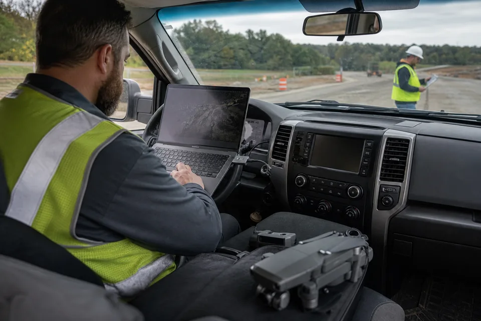
Switching
How to test a Stockpile Reports alternative against your last inventory
A fair test uses piles you already have numbers for.
- Pick a month you trust: a recent Stockpile Reports count, ideally checked against scale tickets or a surveyed pile.
- Fly the yard within a day of that count: nadir photos, 75 to 80 percent front overlap and about 70 percent side overlap, with two or three ground control points if you have them.
- Upload the original JPEGs: straight from the drone's card, no editing.
- Measure the same piles: same names, and the base plane closest to how the phone measurement treated the toe.
- Compare the numbers: volume per pile, then tons using the same density factor for both.
- Send the report: give the PDF and the view link to accounting and see what they ask for.
Comparing other platforms too? Our Propeller alternative and DroneDeploy alternative pages cover the two drone platforms most aggregates buyers also look at.
Try it on a real yard
Measure a stockpile yard before you create an account
The demo loads a sample stockpile yard, an earthworks pad and a field. Draw a toe line around a pile, change the base plane and watch the volume update in the browser.
Pricing
What DroneMapping costs next to a Stockpile Reports plan
Starter is $99 per month or $588 per year: orthomosaic, DSM and DTM, measurements and volumes, CSV export, view links, 3 seats and 3,000 processed images a month. Team is $249 per month or $1,488 per year and adds stockpile PDF reports, cut and fill, GCP and checkpoint reports, DXF and SHP contours, the 3D model and the point cloud, with 10 seats and 15,000 images. Business is $599 per month or $3,588 per year with 25 seats and 50,000 images. Team on yearly billing costs less than the Business 20 plan at Stockpile Reports and does not change with the number of piles.
Questions
Stockpile Reports alternative FAQ
For a producer or contractor that already flies a drone, a cloud drone mapping platform priced per company, such as DroneMapping, Propeller or DroneDeploy, replaces Stockpile Reports for month-end counts. DroneMapping prints its price, $1,488 a year on Team with 10 seats, and does not charge by the number of piles.
Stockpile Reports lists Professional at $20 a month or $200 a year for one iPhone user, and Business plans at $1,000, $2,000 and $5,000 a year for up to 10, 20 and 50 piles. Business 200+, which adds drone measurement, is quoted by the number of piles. Full-service flights and installed cameras are priced on request.
Yes, on the Business 200+ tier. You can fly your own drone and upload the images through the Self-Service Aerials tab with no extra processing fee, or buy prepaid full-service flights where Stockpile Reports sends a pilot. The published Professional and Business 10, 20 and 50 plans measure with an iPhone only.
For a single, clean, freestanding pile a phone walk-around can be close. A drone flight measures every pile from one surface, sees the tops and the back sides a phone may miss, and can be tied to ground control. For a yard with dozens of piles, the drone is usually faster and easier to check.
Volume comes from the surface model, and tons come from multiplying each pile's volume by a density factor for that material. DroneMapping reports volume per pile in cubic yards or cubic meters and exports the table as CSV, so you apply the factors your plant already uses. Stockpile Reports builds the conversion into its tonnage reports.
Most aggregates producers measure monthly to match the accounting close, and many add a count at quarter end or before an audit. Busy yards and contractors with fast-moving material often fly every two weeks. A drone flight of a small yard takes 15 to 30 minutes, so the frequency is set by the business, not the effort.
Related pages
More on choosing a stockpile measurement tool
- Stockpile inventory software with the month-end PDF report
- How to calculate stockpile volume with a drone with base planes and accuracy checks
- Propeller alternative for earthworks and aggregates teams
- Trimble Stratus price for buyers holding a SITECH dealer quote
- DroneDeploy alternative at a published price
- Cut and fill software for month-over-month change
- Best drone mapping software compared by job and budget
Count your next month-end from one drone flight
Fly the yard, upload the photos and send accounting a pile-by-pile report the same day.