3DF Zephyr alternative for survey teams that need maps, contours and volumes without a Windows workstation per person
The best 3DF Zephyr alternative for a US survey or civil firm where more than one person needs the results is a cloud platform priced per company, such as DroneMapping. 3DF Zephyr costs EUR 4,200 for a perpetual license (about $4,700), or EUR 250 a month on subscription, and it is a Windows program that needs a GPU, so every extra person means another license and another workstation. DroneMapping turns geotagged drone photos into an orthomosaic, surface and terrain models, contours, stockpile volumes, cut and fill and a ground control accuracy report in the browser. Team is $249 a month or $1,488 a year with 10 seats, on Windows, Mac or a tablet in the field.
net volume
net volume
Side by side
3DF Zephyr vs DroneMapping on price, hardware and survey outputs
The Zephyr column uses 3Dflow's own buy and feature comparison pages, which quote euros excluding VAT, checked in October 2026. Dollar figures use the European Central Bank rate of 1.1206 from October 9, 2026, so your card statement will differ a little. DroneMapping prices are the plans on our pricing page.
| What you compare | 3DF Zephyr | DroneMapping |
|---|---|---|
| Published price | Lite EUR 199 once, 30-day subscription EUR 250 a month, full perpetual license EUR 4,200 (about $4,707) | Starter $99 a month, Team $249, Business $599, or $588, $1,488 and $3,588 a year |
| What one price covers | One license, one computer | A whole company, 3, 10 or 25 seats |
| Updates | 12 months, then 20% of the license price a year | Included while you subscribe |
| Runs on | Windows, with an NVIDIA CUDA or OpenCL GPU for speed | Any modern browser on Windows, Mac or tablet, no GPU |
| Ground control points | Subscription and perpetual license | GCPs and checkpoints with RMSE in X, Y and Z on Team |
| Orthomosaic and DEM | Subscription and perpetual license | DSM and DTM on every plan |
| Contours and volumes | Subscription and perpetual license | Contours on Team, stockpile volumes on every plan |
| Cut and fill against a design | Not a headline feature | Team and above, against a design surface or an earlier flight |
| Laser scans | Yes, with 3DF Scarlet registration | Not processed |
| Sharing with a client | Export and host files yourself | A view link on every plan, opens on a phone |
| Photos per job | Limited by your RAM and GPU | Up to 500 per flight |
The short version: Zephyr is a desktop toolbox that also registers laser scans. DroneMapping is the better buy when the product is a map, a surface or a quantity that several colleagues and the client need to open, and nobody wants to set up and maintain a Windows workstation to get it.
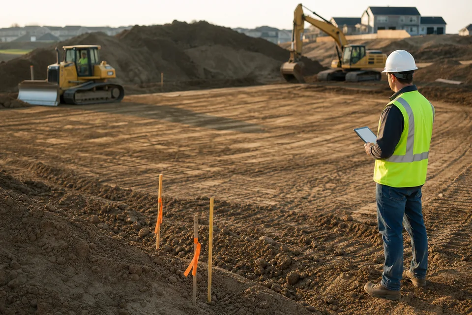
How Zephyr prices it
3DF Zephyr price and which edition a survey firm actually needs
Zephyr Lite at EUR 199 and the free edition are test tools for survey work. The free edition stops at 50 photos and cannot export survey data, and Lite has no ground control, no georeferenced orthomosaic and no elevation model. For a map a surveyor can sign, the choice is the 30-day subscription at EUR 250 a month or the perpetual license at EUR 4,200.
The perpetual license includes 12 months of updates. After that, keeping updates costs 20% of the license price a year, about $940 for one computer. A US buyer also pays in euros, so the dollar price moves with the exchange rate. Our 3DF Zephyr vs Metashape pricing article has the full table and a three-year cost.
Worked example
What a three-person survey firm pays for Zephyr and for DroneMapping
Take a US survey and civil firm where a pilot, a CAD technician and a project surveyor all process flights, deliver orthomosaics, surfaces and contours, and send contractors monthly stockpile volumes.
| Cost over 3 years | 3DF Zephyr perpetual | 3DF Zephyr subscription | DroneMapping Team |
|---|---|---|---|
| One license | about $4,707, plus about $1,883 to keep updates in years 2 and 3 | about $10,085 for 36 months | $4,464 for 10 seats |
| Three licenses | about $19,770 with updates | about $30,260 | Included |
| Workstations | Three Windows PCs with a GPU | Same | Not needed |
| Sharing with clients | Export and host files yourself | Export and host files yourself | View links included |
| Total software for 3 people | about $19,770 | about $30,260 | $4,464 |
These figures count software only, so the Windows workstations come on top for Zephyr. The subscription only wins for a firm that processes a few months a year and lets it lapse in between.
Honest fit
When 3DF Zephyr is still the better choice
Keep Zephyr, or buy it, if most of these are true:
- You register laser scans together with drone photos, because 3DF Scarlet comes with the full license.
- Your jobs run over 500 photos in one go, such as a large corridor or a mine, and you own the hardware for it.
- You make inspection, heritage or object meshes where Zephyr's editing tools save hours.
- You work alone and want a perpetual license on a computer that never needs to be online.
- A new technician needs the guided wizard rather than a finished map delivered in the browser.
The trade is cost per seat and one operating system. A team that hands the client a surface, a contour file and a volume pays for mesh tools and scan registration it does not use.
Built for survey and civil teams
A 3DF Zephyr alternative for survey firms, engineers and earthworks contractors
Most of our survey buyers deliver numbers rather than meshes. A land surveyor needs a DTM and contours with a checkpoint report, an engineer needs a surface to design against, and a site contractor needs a stockpile count before the pay application.
In DroneMapping you fly any mapping drone that writes geotagged JPEGs, upload from a browser and get the orthomosaic and elevation models, then draw stockpiles, run cut and fill against the design GeoTIFF, export DXF, SHP or LAS and send a view link. Our drone survey software page shows the ground control report and the CAD exports, and the cut and fill software page covers earthworks.
What we do not do: laser scan processing, LiDAR, flights over 500 photos and desktop editing of dense meshes.
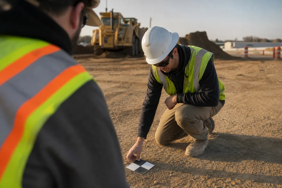
Switching
How to test a 3DF Zephyr alternative on your last survey flight
A fair test uses a site you already processed in Zephyr.
- Pick a flight you trust: one with ground control points and checkpoints you measured.
- Upload the original images: straight from the drone's card, with the GCP file.
- Compare the checkpoints: the RMSE in X, Y and Z against your Zephyr result.
- Compare the quantities: the same stockpile or the same pad, side by side.
- Count the people: how many colleagues need the result, and what that costs each way.
Looking at other platforms as well? Our Metashape alternative page covers the other big desktop license, and the Pix4D alternative page compares the survey subscriptions.
Try it on a real site
Check a survey flight before you create an account
The demo loads a sample site, an earthworks pad and a stockpile yard. Drop your own photos in and it reads camera, altitude, ground sampling distance and estimated overlap in your browser. Your photos stay on your device.
Pricing
What DroneMapping costs next to a Zephyr license
Starter is $99 per month or $588 per year: orthomosaic, DSM and DTM, measurements, CSV export, view links, 3 seats and 3,000 processed images a month. Team is $249 per month or $1,488 per year with 10 seats, 15,000 images, GCP and checkpoint reports, contours and cut and fill. Business is $599 per month or $3,588 per year with 25 seats, 50,000 images a month, a priority queue and 2 TB of storage.
Questions
3DF Zephyr alternative FAQ
For a survey or civil firm where several people need the same results, a cloud platform priced per company, such as DroneMapping Team, replaces Zephyr for orthomosaics, terrain models, contours, volumes and GCP reports. For laser scan registration and detailed mesh editing, Zephyr stays the right tool.
3DF Zephyr costs EUR 199 for Lite, EUR 250 a month for the 30-day subscription and EUR 4,200 for the full perpetual license, all excluding VAT. Only the subscription and the perpetual license include ground control, orthophotos, elevation models and contours.
Sometimes. For one person with a few jobs a year, one EUR 250 Zephyr month can cost less than a plan. For one person who processes every week, or any team of two or more, a plan with seats included, such as DroneMapping Starter at $99 a month, costs less than a Zephyr license and needs no workstation.
No. 3Dflow describes Zephyr as a Windows application, with GPU acceleration through NVIDIA CUDA or OpenCL cards. DroneMapping processes in the cloud, so a Mac, a Windows laptop or a tablet in the field all work. Our photogrammetry software for Mac page has the detail.
Yes for drone photo surveys. Team reports ground control points and checkpoints with RMSE in X, Y and Z, which is the evidence most clients ask for. Run both on one site with the same GCP file and compare the checkpoint errors before you switch.
Starter includes 3 seats, Team 10 and Business 25. Seats are for people who log in and process or manage. Clients open maps from a view link and do not need a seat.
Related pages
More on choosing survey processing software
- 3DF Zephyr vs Metashape pricing with a three-year cost
- Metashape alternative for teams on desktop licenses
- Drone survey software with GCP reports and CAD exports
- Photogrammetry software for Mac with no Windows PC needed
- Best drone mapping software compared by job and budget
- Drone mapping pricing with every DroneMapping plan
Process your next survey flight and send the client a link
Upload a flight, get the orthomosaic, contours and volumes and share them the same day.